Virginia Expert Environmental Services for Successful Projects
Your local expert team for all planning, drilling, and environmental projects.
Why partnering with HydroGeo is the smart choice.


OUR SERVICES
ENVIRONMENTAL CONSULTING
We excel at Phase 1 and Phase 2 ESA, release investigation, site characterization, remediation for contaminated soil & groundwater and landfill services.
GEOPHYSICAL SURVEYS
We provide sinkhole imaging, bedrock mapping or high-yield well location services, Ground Penetrating Radar, Electrical Resistivity Tomography, Electromagnetic Conductivity Mapping, and Seismic Methods. We use the best option for your project.

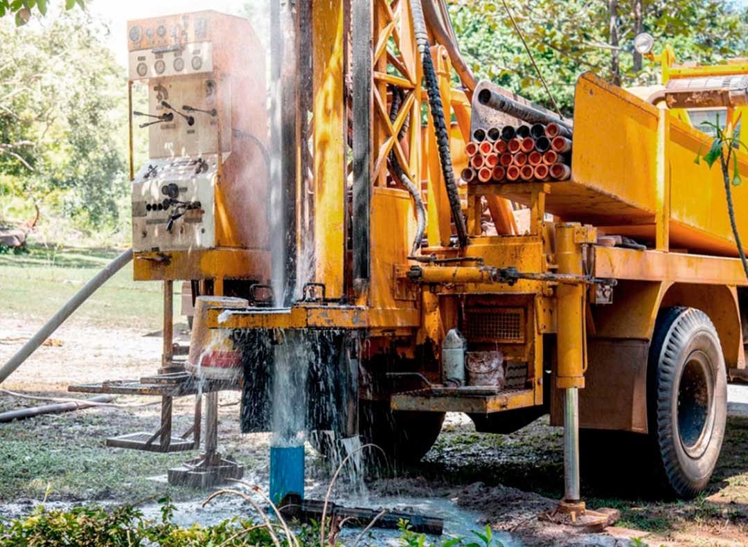
GROUNDWATER SUPPLY DEVELOPMENT
We select prime well drilling locations. We work alongside well-drillers to install drinking water wells and perform aquifer testing. We also work with the Virginia Department of Health.
HYDROLOGIC ASSESSMENTS
We offer a combination of classic geologic mapping techniques with cutting-edge GIS and geophysical imaging technology to help you make smart decisions about your groundwater supply project.

TESTIMONIALS


"We have all been very pleased with HydroGeo's work and it is a pleasure working with your team."
DEQ CASE MANAGER
We make it easy on you


Contact us today or put us on the shortlist!
When you give notice to proceed, we’ll sit down face to face so we can learn your priorities in details to develop the scope of work.
Our priority is to support you and make it as easy for you as possible at every stage in the process till you come away with a successful project!

No one should have to make big decisions without being able to turn to someone they can trust.
With us on your side, you can relax.
At HydroGeo, we know that you are looking for a firm you can trust with all your drilling, groundwater management and environmental compliance projects. In order to do that you need to get the best expert support to help you make complicated decisions that will impact every citizen in your community.
The problem is complex projects of this scope are a challenge when you don’t have access to the best possible information, increasing the worry that you’ll have a project that has too many complications, goes on too long and costs too much.
You care about your community and you need expert support to make the best decisions for everyone involved. We have the tools and technology to help make that happen.