
Partner with the #1 Soil Resistivity and Site Mapping Firm
Whether you need soil resistivity testing or subsurface imaging to locate shallow rock or other unmapped features - we’ve got you covered!
Why partnering with HydroGeo is the smart choice.


When you don’t know what’s underground…
You worry about making mistakes that could derail your project. For example:
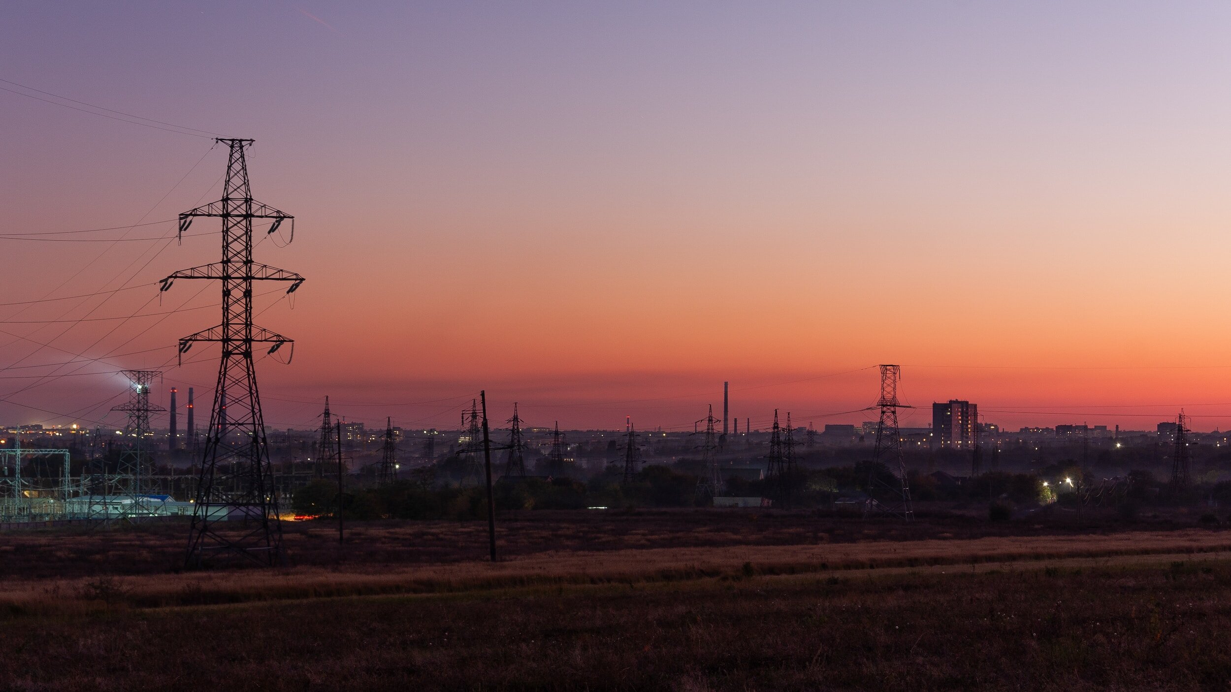
If you don’t have reliable soil resistivity data, your electrical grounding system could fail.
Encountering unexpected shallow rock during excavations on construction projects can cost tens of thousands of dollars just in rock removal alone.
And you know that if you were to drill a borehole in the wrong place, it could be devastating.
Let’s make your job easier
State-of-the-art equipment and techniques
We use state-of-the-art tools and techniques to provide you with detailed information so you know you have everything you need to steer your project to success. We’re always ready to extend a professional and friendly hand.
Save time and money without ever sacrificing quality
By working with a local SWaM certified company, an expert with streamlined processes, you know our work will be specifically tailored to your project needs. We’ve seen it all, so we can get it all taken care of for you.
Partner with an expert in regional geology
With over 20 years experience, HydroGeo has worked on thousands of sites across the U.S. and are the go-to experts in this region. Because of this, we are able to streamline the report process and create faster turn-around times.
Knowledge is power.

OUR SERVICES
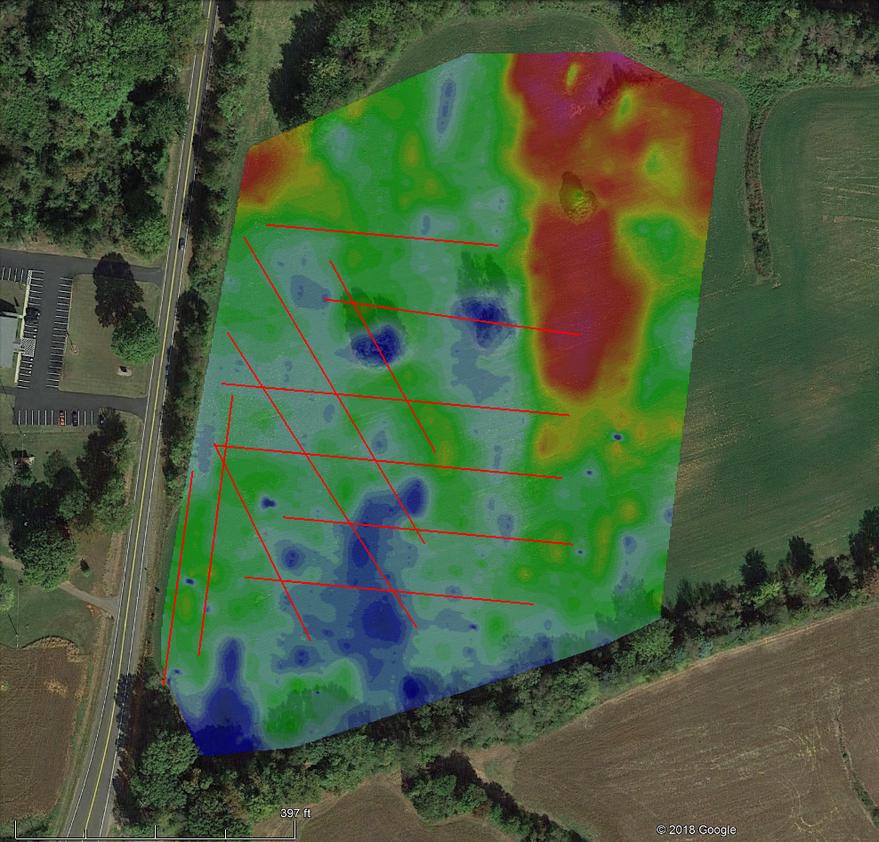
SOIL RESISTIVITY TESTING
We use the Wenner 4-pin method (ASTM G57) for collecting soil resistivity data for electrical grounding applications. Our deep geologic knowledge and technical experience ensure that your surveys are set up to deliver you the highest quality data possible so that your project is a success.

GEOPHYSICAL SURVEYS / SITE MAPPING
We use a variety of geophysical survey methods such as Ground Penetrating Radar, Electrical Resistivity Tomography and Electromagnetic Conductivity Mapping to map sites. The methods we use depend on site specific geologic conditions and your project goals.

FIELD SUPPORT
HydroGeo provides the manpower you need in the field for environmental sampling, onsite coordination, and other various onsite needs and activities.
We make it easy on you

Tell us about your project.
To request a proposal, tell us what questions you are trying to answer and we will respond to your request shortly.

We’ll recommend the scope of work.
We’ll give you honest and straightforward recommendations of what field tools and methods will get you the information you need as quickly and cost effectively as possible.
Confidently navigate your project to success
With accurate geological information and using the best technology available, you can communicate more effectively with your clients, greatly improve the overall outcomes of the project, and enhance your own reputation in the industry.

Don’t Take Chances with Your Project
With us on your side, you can relax.
At HydroGeo, we know that you are looking to partner with a firm that delivers the same level of professional excellence as you do. In order to do that you need a partner who has earned a reputation for technical excellence combined with friendly, honest service.
You know that there is amazing technology available in this day and age to make your job easier. We are equipped with personnel, equipment and experience to provide a comprehensive set of services to ensure the successful outcome of your project.
We employ state-of-the-art techniques that provide detailed information so you know you have everything you need to steer your project toward success. By working with an experienced team with a streamlined process, you'll save time and money without ever sacrificing the quality of the reports you receive from us. In fact the work scope will be specifically tailored to your project needs - we’ve seen it all so we can get it all taken care of.
